Two Districts, One City, Different Density
Have you ever assumed two similar-looking neighborhoods would give you the same answer to the same question?
It's a reasonable assumption on the surface. Same city, same basic housing type, similar-looking streets. But zoning density — how many dwelling units a given piece of land is allowed to support — can vary meaningfully between districts that look, from the sidewalk, almost identical.
Two Districts, One City
Jenks, Oklahoma has multiple single-family residential districts, and two of them — RS1 and RS2 — make a useful comparison. RS1 permits roughly 4.36 dwelling units per acre. RS2, sometimes just a few blocks away, permits about 5.45 units per acre.
That's not a small gap. It's close to a 25% increase in allowed density, on lots that can look nearly identical from the street. Same general lot sizes, same single-family use, same neighborhood character — and a meaningfully different ceiling on what could eventually be built or subdivided.
Why the Difference Exists
Density limits usually trace back to a combination of minimum lot area and minimum lot width requirements written into each district. RS1 and RS2 set those minimums slightly differently, and density is essentially the mathematical result: smaller minimum lot requirements produce a higher theoretical ceiling on units per acre.
This is useful to understand, because it means density isn't an arbitrary number assigned to a district. It's a byproduct of the underlying lot standards — which means it changes any time those standards change, district to district, city to city.
Where This Matters in Practice
For anyone evaluating a property for its long-term potential — not just what's there today, but what the district would allow going forward — the density figure is a faster way to compare two candidate areas than manually working through minimum lot area and width for each one.
It's also a reminder not to assume that a neighboring district follows the same rules just because the streets look continuous. The line between RS1 and RS2 in Jenks isn't visible from a car window. It's a real boundary with a real difference in what's allowed on either side of it.
Where IQLand Fits
A parcel's zoning district — along with the density figure that district actually allows — is already assembled and searchable by address. That means comparing two nearby properties in different districts doesn't require pulling two separate code sections and doing the lot-area math by hand.
The Takeaway
Density isn't painted on the ground. Two lots that look the same can carry two different ceilings, and the only way to know which one applies is to check the specific district a parcel actually sits in — not the one next door that happens to look the same.
Want to compare what two nearby properties actually allow before assuming they're the same? Search a parcel with IQLand →
IQLand
AI-powered land development intelligence platform
Related Posts
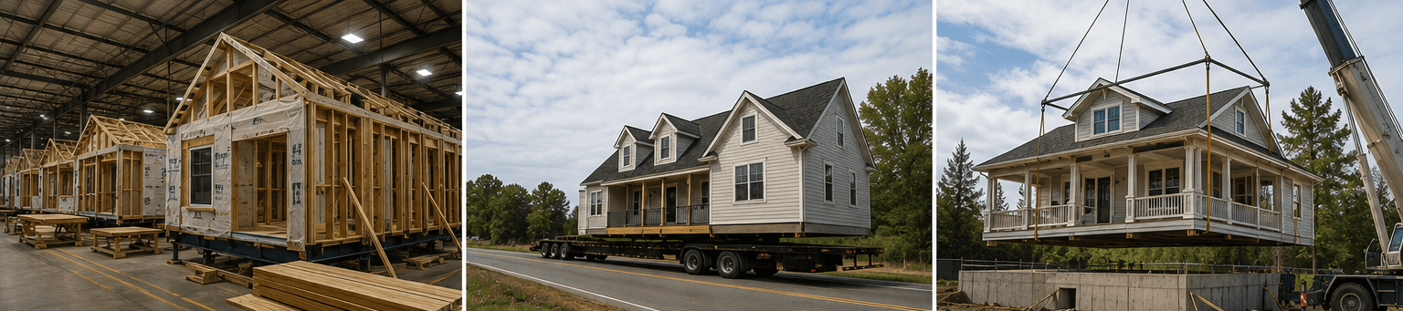
Prefab, Modular, or Manufactured? What's the Difference — and Who Cares?
Prefab, modular, and manufactured aren't interchangeable words. They're three regulatory categories with three different building codes, financing paths, and zoning treatments — and Congress just rewrote the rules for one of them.
The East Point District Where the Floor-Area Bar Nearly Doubles
East Point's R-3 district requires nearly double the floor area of R-1A on a comparably sized lot.
The Smaller East Point District With Its Own Floor-Area Math
East Point's R-1A district allows a smaller ground floor than R-1 next door — mixing the two up fails plan review.